TerraMetrics and Google Earth
TerraMetrics’ TruEarth 15-meter imagery has been with the Google Earth product for many years, dating back to when Google Earth was known as the Keyhole Earthviewer and used TerraMetrics’ imagery as the Keyhole Earthviewer’s original 1km global imagery dataset. As we extended our global-coverage imagery offerings, Google began using TerraMetrics’ TruEarth 15-meter imagery as the global mid-resolution imagery baselayer for their products.
“What data does TerraMetrics provide to Google Earth and Google Maps?”
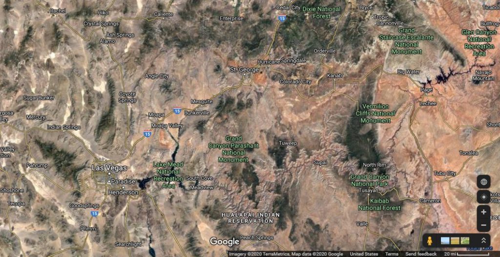
When you are using Google Earth and Google Maps, you are often looking at multiple layers of data such as satellite imagery, aerial photography, synthetic ocean imagery, roadways, location names, addresses and more, which come from many different data and imagery providers. The “Satellite” layer consists of a mix of mid-resolution and high-resolution satellite and aerial imagery from multiple providers for a given area. Our TruEarth 15-meter imagery is the baselayer imagery that covers the entire globe in Google Earth and Google Maps. This imagery provides the the consistent, continuous wide-area coverage and is an essential foundation for overlaying other data and imagery. Google adds high-resolution imagery, where available, over TruEarth 15-meter imagery to provide additional visual details. Google also adds place names, roadway data and names, and many other datasets from other providers to create the final Google Earth and Google Maps products that you see.
What TerraMetrics provides to Google Earth:
- Global TruEarth 15-meter imagery… the mid-resolution, base imagery that provides continuous, wide-area coverage of the Earth and serves as an important baselayer for other imagery and data.
What TerraMetrics does not provide to Google Earth:
- High-resolution imagery that shows houses, cars, etc.
- Place names, street names, roadway data, location addresses, geographic or political boundary data
- Ocean imagery
- Street view imagery
“I think there is an error in the imagery, a street name, a city name, an address, a boundary or something else in Google Earth and/or Google Maps. Can TerraMetrics fix this?”
No, as most of this data is not ours and we cannot makes changes to Google’s products. Google uses our TruEarth 15-meter-per-pixel imagery as a mid-resolution data set that provides continuous coverage of the entire globe. Our imagery is intended for wide-area coverage and does not show fine details such as buildings and streets. TerraMetrics does not provide any other imagery, street or city names, address or boundary data to Google. Google Earth and Google Maps use imagery and data from other providers including high-resolution imagery, which shows finer details such as houses, streets, etc. If you’re zooming into an area and don’t see these details, it’s possible that high-resolution imagery may not be available for that area yet.
We do not know Google’s plans for updates and suggest that you visit Google’s Help Center for more information.
“Google Earth or Google Maps shows an image with TerraMetrics’ credit line that I’d like to use… can I grab a screen capture and use it?”
We are happy to provide permission to use our imagery as it appears in Google Earth or Google Maps. Here is our standard permission release for your use:
To the extent that it is TerraMetrics’ TruEarth 15-meter imagery displayed in a Google Earth or Google Maps screen capture, TerraMetrics hereby grants you permission for use of our imagery. Because Google Earth and Google Maps screen captures may contain imagery and other data from other providers including Google, we cannot and do not extend any further permissions regarding the use of Google Earth’s or Google Maps’ portrayal of our imagery or Google’s or other parties’ work, in general. We appreciate your display of our standard credit line and link: “Copyright TerraMetrics, LLC – www.terrametrics.com”